1966 Map of Sanhedrin Mtn.
USGS Topo · Published 1984About this map
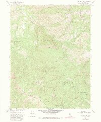
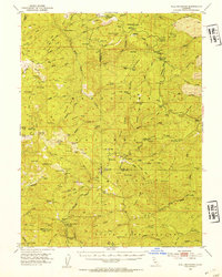
Sanhedrin Mountain dominates this portion of the Mendocino National Forest in the mid-1960s, a landscape defined by sharp elevation changes and an intricate network of drainages. The rugged character of the Mendocino and Lake County line is evident through features like Impassable Rock and the high points of Big Signal Peak and Little Signal Peak. Human presence is sparse and localized, marked by established spots such as Elk Creek Ranch and Crocker Place.
Find a feature on this map
35 named features on this map. Tap any name to fly to it.
Don’t see what you’re looking for? This feature index may not catch every label — zoom into the map to look around manually.
Map Details
Editions of this 1966 Sanhedrin Mtn. Map
4 editions found

Other maps of this area

1922 · Hullville
USGS Topo · 1:62,500
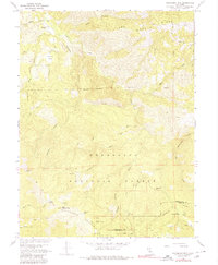
1929 · Eden Valley
USGS Topo · 1:62,500

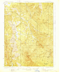
1943 · Pomo
USGS Topo · 1:62,500
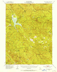
1951 · Lake Pillsbury
USGS Topo · 1:62,500
1952 · Hull Mountain
USGS Topo · 1:62,500
1952 · Eden Valley
USGS Topo · 1:62,500

1957 · Ukiah
USGS Topo · 1:250,000

1960 · Ukiah
USGS Topo · 1:250,000
1960 · Potter Valley
USGS Topo · 1:62,500
1966 · Sanhedrin Mtn
USGS Topo · 1:24,000