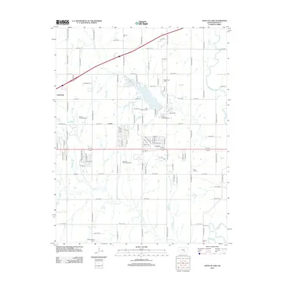
2012 Map of Santa Fe Lake
USGS Topo · Published 2012About this map
Santa Fe Lake and its surrounding prairie landscapes define this portion of Butler County, where suburban expansion near Andover meets established Kansas agricultural and aviation interests. The map records a distinct concentration of private and municipal airfields, including Augusta Municipal Airport, Daniel's Landing Airport, and Sills Air Park, reflecting the region's long-standing connection to light aircraft and pilot training. Genealogy researchers can find several burial grounds such as Indianola Cem in the north and both Golden Cem and Fairview Cem near the southern boundary. Drainage patterns are shaped by the Whitewater River and Walnut River, which cut through a landscape dotted with community hubs like the Assembly of God Campground and the small settlement of Lorena.
Find a feature on this map
88 named features on this map. Tap any name to fly to it.
Don’t see what you’re looking for? This feature index may not catch every label — zoom into the map to look around manually.
Map Details
Editions of this 2012 Santa Fe Lake Map
This is the sole edition of this map. No revisions or reprints were ever made.
Other maps of this area

1888 · Eldorado
USGS Topo · 1:125,000

1889 · Wichita
USGS Topo · 1:125,000

1894 · Wichita
USGS Topo · 1:125,000

1945 · Andover
USGS Topo · 1:31,680

1955 · Santa Fe Lake
USGS Topo · 1:24,000

1955 · Benton
USGS Topo · 1:24,000

1955 · Greenwich
USGS Topo · 1:24,000

1955 · Rose Hill
USGS Topo · 1:24,000

1955 · Douglass
USGS Topo · 1:24,000

1955 · Wichita
USGS Topo · 1:250,000