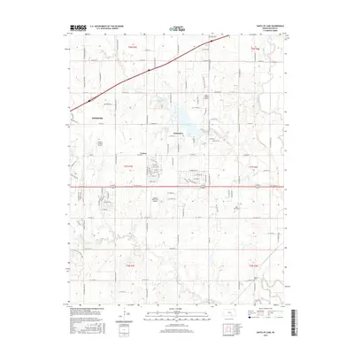
2015 Map of Santa Fe Lake
USGS Topo · Published 2015About this map
Santa Fe Lake serves as a central landmark in this Butler County landscape, situated between the growing communities of Andover and Augusta. The terrain is defined by the drainage patterns of the Whitewater River and Walnut River, which converge in the southeastern portion of the map. This 2015 survey illustrates a mix of agricultural heritage and modern aviation infrastructure, featuring several private and public landing strips including Augusta Municipal Airport, Daniel's Landing Airport, and Sills Air Park. Genealogists will find interest in the documented locations of Golden Cem and Fairview Cem near the southern edge. The map also preserves the location of the settlement of Lorena, providing a detailed look at the rural road network and township divisions that have organized this part of Kansas for generations.
Find a feature on this map
97 named features on this map. Tap any name to fly to it.
Don’t see what you’re looking for? This feature index may not catch every label — zoom into the map to look around manually.
Map Details
Editions of this 2015 Santa Fe Lake Map
This is the sole edition of this map. No revisions or reprints were ever made.
Other maps of this area

1888 · Eldorado
USGS Topo · 1:125,000

1889 · Wichita
USGS Topo · 1:125,000

1894 · Wichita
USGS Topo · 1:125,000

1945 · Andover
USGS Topo · 1:31,680

1955 · Santa Fe Lake
USGS Topo · 1:24,000

1955 · Benton
USGS Topo · 1:24,000

1955 · Greenwich
USGS Topo · 1:24,000

1955 · Rose Hill
USGS Topo · 1:24,000

1955 · Douglass
USGS Topo · 1:24,000

1955 · Wichita
USGS Topo · 1:250,000