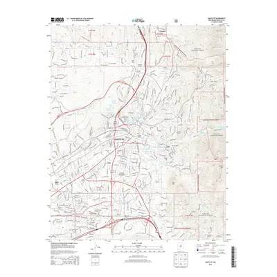
2013 Map of Santa Fe
USGS Topo · Published 2013About this map
Santa Fe is depicted here in detail during the early 21st century, revealing a landscape where dense urban development meets the high-desert foothills. The city's historic layout is anchored by landmarks like the Santa Fe Post Office and educational institutions such as St John's Coll and the Southwest Acupuncture College-Santa Fe. The Santa Fe Southern RR cuts through the southwestern portion of the city, illustrating the area's long-standing connection to rail transport.
Find a feature on this map
146 named features on this map. Tap any name to fly to it.
Don’t see what you’re looking for? This feature index may not catch every label — zoom into the map to look around manually.
Map Details
Editions of this 2013 Santa Fe Map
This is the sole edition of this map. No revisions or reprints were ever made.
Other maps of this area

1889 · Santa Fe
USGS Topo · 1:125,000

1892 · Santa Clara
USGS Topo · 1:125,000

1894 · Santa Fe
USGS Topo · 1:125,000

1951 · Agua Fria
USGS Topo · 1:24,000

1951 · Turquoise Hill
USGS Topo · 1:24,000

1952 · Santa Fe
USGS Topo · 1:24,000

1952 · Turquoise Hill
USGS Topo · 1:24,000

1952 · Seton Village
USGS Topo · 1:24,000

1953 · Tesuque
USGS Topo · 1:24,000

1953 · Horcado Ranch
USGS Topo · 1:24,000