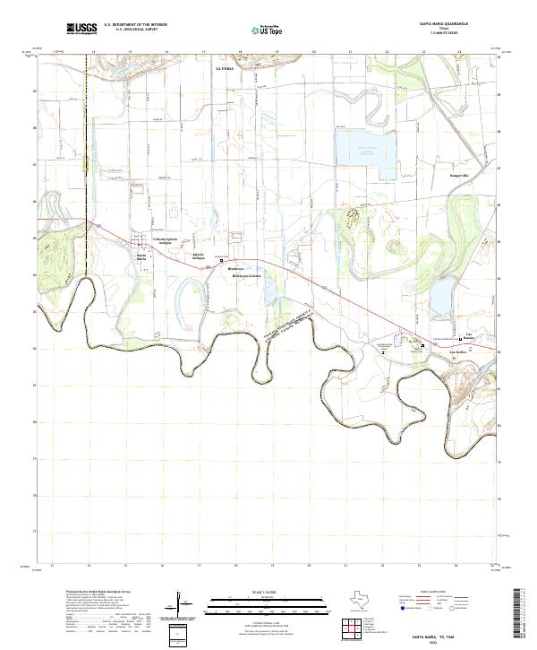
2022 Map of Santa Maria
USGS Topo · Published 2022About this map
The Rio Grande defines the winding international border in this 2022 survey of the southern tip of Texas, where irrigation infrastructure dominates the landscape. The complex water management system of the Rio Grande Valley is visible through extensive works such as the Santa Maria Main Canal, La Feria Main Canal, and the Adams Gardens Main Canal, all feeding into the local agricultural economy. These canals neighbor established communities like Santa Maria, Bluetown, and Los Indios.
Find a feature on this map
61 named features on this map. Tap any name to fly to it.
Don’t see what you’re looking for? This feature index may not catch every label — zoom into the map to look around manually.
Map Details
Editions of this 2022 Santa Maria Map
This is the sole edition of this map. No revisions or reprints were ever made.
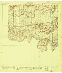
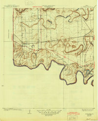
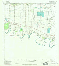
Historical Maps of Zacatal Colonia Through Time
5 maps found