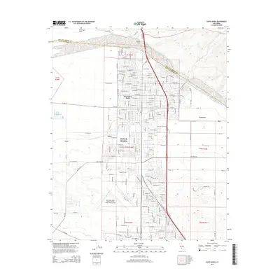
2015 Map of Santa Maria
USGS Topo · Published 2015About this map
The Santa Maria River carves a wide path through this coastal valley, marking the boundary between San Luis Obispo and Santa Barbara counties. In the southern portion of the map, the urban grid of Santa Maria dominates the landscape, including North Santa Maria and the extensive grounds of Allan Hancock College. This area serves as a significant regional hub, characterized by a sophisticated transportation network and the large footprint of the Santa Maria Public Airport.
Find a feature on this map
166 named features on this map. Tap any name to fly to it.
Don’t see what you’re looking for? This feature index may not catch every label — zoom into the map to look around manually.
Map Details
Editions of this 2015 Santa Maria Map
This is the sole edition of this map. No revisions or reprints were ever made.
Other maps of this area

1897 · Arroyo Grande
USGS Topo · 1:62,500

1900 · San Luis
USGS Topo · 1:125,000

1905 · Guadalupe
USGS Topo · 1:125,000

1905 · Lompoc
USGS Topo · 1:125,000

1922 · Nipomo
USGS Topo · 1:62,500

1942 · Guadalupe
USGS Topo · 1:125,000

1942 · Lompoc
USGS Topo · 1:125,000

1942 · Arroyo Grande
USGS Topo · 1:62,500

1942 · Santa Maria
USGS Topo · 1:62,500

1942 · Point Sal
USGS Topo · 1:62,500