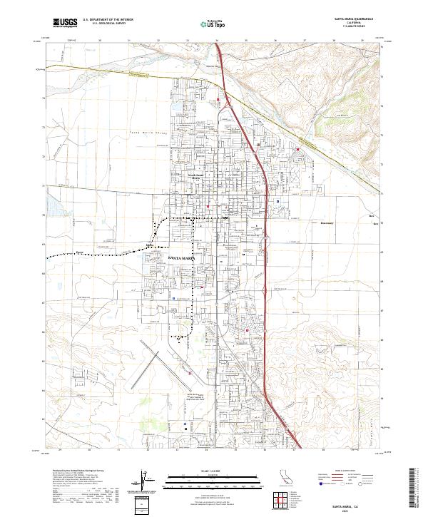
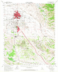
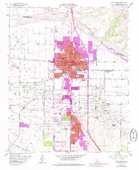
2021 Map of Santa Maria
USGS Topo · Published 2021About this map
The Santa Maria Valley serves as a central hub for agriculture and transit in this modern 2021 study, anchored by the significant urban footprint of Santa Maria. The landscape is defined by its transition from the alluvial flats near the Santa Maria River to the elevated terrain of the Solomon Hills and Nipomo Valley in the north. This map illustrates a mature community layout where industrial spurs like the Pacific Coast Ry and the expansive Santa Maria Public Airport/Captain G Allan Hancock Field sit alongside established educational centers such as Allan Hancock College. Small named settlements like Midco, Pacer, and Rosemary provide evidence of the region’s historically dispersed siding-based growth. The northern boundary is sharply delineated by the county line between San Luis Obispo and Santa Barbara counties, where Nipomo Cr and Suey Cr descend toward the valley floor.
Find a feature on this map
146 named features on this map. Tap any name to fly to it.
Don’t see what you’re looking for? This feature index may not catch every label — zoom into the map to look around manually.
Map Details
Editions of this 2021 Santa Maria Map
This is the sole edition of this map. No revisions or reprints were ever made.
Historical Maps of Pacer Through Time
12 maps found
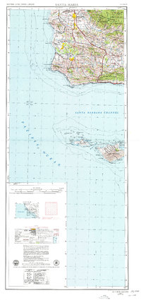
1942 Santa Maria
Santa Barbara County, CA
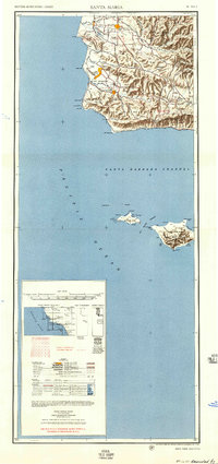
1947 Santa Maria
Santa Barbara County, CA
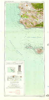
1948 Santa Maria
Santa Barbara County, CA
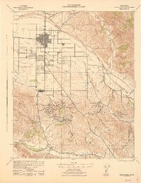
1956 Santa Maria
Santa Barbara County, CA
1957 Santa Maria
Santa Barbara County, CA
1958 Santa Maria
Santa Barbara County, CA
1959 Santa Maria
Santa Barbara County, CA
1959 Santa Maria
Santa Barbara County, CA
1962 Santa Maria
Santa Barbara County, CA
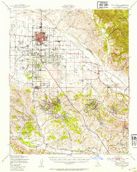
1982 Santa Maria
Santa Barbara County, CA
1989 Santa Maria
Santa Barbara County, CA
2021 Santa Maria
Santa Barbara County, CA