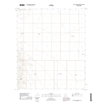
2018 Map of Santa Rosa Mountains NE
USGS Topo · Published 2018About this map
Santa Rosa Mountains and Slate Mountains define this arid landscape within the Sif Oidak District, where topographic contours reveal the stark transition between high-desert peaks and the broad expanse of the Aguirre Valley. The map details a complex drainage system essential to the geography of Pima County, prominently featuring the Tat Momoli Wash as it cuts through the northern sections and the southward-reaching Aguirre Wash. Elevation data captured by the U.S. Geological Survey highlights distinctive landmarks such as Stone Peak, providing a clear view of the natural terrain and historical land divisions across several townships and ranges. This 2018 edition serves as a precise record of the desert's physical features, from its seasonally dry watercourses to its prominent mountain ranges.
Find a feature on this map
11 named features on this map. Tap any name to fly to it.
Don’t see what you’re looking for? This feature index may not catch every label — zoom into the map to look around manually.
Map Details
Editions of this 2018 Santa Rosa Mountains NE Map
This is the sole edition of this map. No revisions or reprints were ever made.
Other maps of this area

1934 · Silver Bell
USGS Topo · 1:125,000

1942 · Silver Reef Mountains
USGS Topo · 1:62,500

1947 · Eloy
USGS Topo · 1:62,500

1948 · Eloy
USGS Topo · 1:62,500

1956 · Tucson
USGS Topo · 1:250,000

1958 · Tucson
USGS Topo · 1:250,000

1959 · Tucson
USGS Topo · 1:250,000

1959 · Vaca Hills
USGS Topo · 1:62,500

1962 · Tucson
USGS Topo · 1:250,000
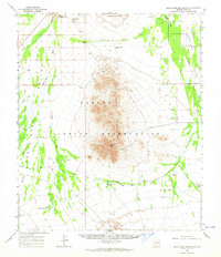
1963 · Santa Rosa Mountains
USGS Topo · 1:62,500