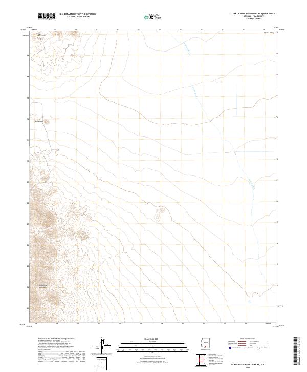
2021 Map of Santa Rosa Mountains NE
USGS Topo · Published 2021About this map
The Santa Rosa Mountains anchor the southwestern corner of this desert landscape, where steep slopes give way to the broad alluvial plains of the Aguirre Valley. This area in Pima County reflects a classic Basin and Range topography, defined by the drainage patterns of seasonal desert watercourses. Tat Momoli Wash and Aguirre Wash trace their paths across the valley floor, highlighting how water flow dictates the shape of the land in this arid environment. To the northwest, the Slate Mountains rise abruptly, featuring the prominent landmark of Stone Peak. The survey reveals a landscape largely shaped by natural boundaries and the Public Land Survey System, with township lines such as t11s r5e and t12s r6e organizing the vast open spaces between these significant mountain formations.
Find a feature on this map
11 named features on this map. Tap any name to fly to it.
Don’t see what you’re looking for? This feature index may not catch every label — zoom into the map to look around manually.
Map Details
Editions of this 2021 Santa Rosa Mountains NE Map
This is the sole edition of this map. No revisions or reprints were ever made.
Other maps of this area

1934 · Silver Bell
USGS Topo · 1:125,000

1942 · Silver Reef Mountains
USGS Topo · 1:62,500

1947 · Eloy
USGS Topo · 1:62,500

1948 · Eloy
USGS Topo · 1:62,500

1956 · Tucson
USGS Topo · 1:250,000

1958 · Tucson
USGS Topo · 1:250,000

1959 · Tucson
USGS Topo · 1:250,000

1959 · Vaca Hills
USGS Topo · 1:62,500

1962 · Tucson
USGS Topo · 1:250,000
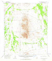
1963 · Santa Rosa Mountains
USGS Topo · 1:62,500