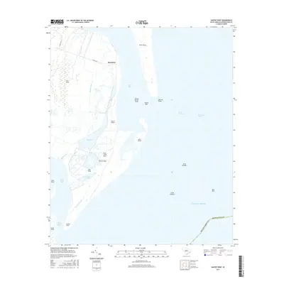
2017 Map of Santee Point
USGS Topo · Published 2017About this map
Quarantine stands as a notable point of interest on this coastal survey of Georgetown County, situated where the Atlantic tides meet the complex marshlands of the Winyah Bay entrance. The landscape is defined by a dense network of waterways and islands, including the large expanses of North Island and South Island, separated from the mainland by features like Lagoon Creek and the Rockfish Canal. Southward, the map details the shifting maritime environment of the North Santee Bay and the protective barrier of Santee Point. The presence of man-made navigation aids and designated shoal areas such as Mother Norton Shoal and the North Breakers highlights the historical and contemporary importance of this region as a gateway for South Carolina shipping and a site for coastal management.
Find a feature on this map
31 named features on this map. Tap any name to fly to it.
Don’t see what you’re looking for? This feature index may not catch every label — zoom into the map to look around manually.
Map Details
Editions of this 2017 Santee Point Map
This is the sole edition of this map. No revisions or reprints were ever made.
Other maps of this area

1942 · Cape Romain
USGS Topo · 1:24,000

1942 · Santee Point
USGS Topo · 1:24,000

1942 · North Island
USGS Topo · 1:24,000

1943 · Minim Island
USGS Topo · 1:24,000

1943 · Georgetown South
USGS Topo · 1:24,000

1947 · Georgetown South
USGS Topo · 1:24,000

1949 · Georgetown
USGS Topo · 1:250,000

1967 · Georgetown
USGS Topo · 1:250,000
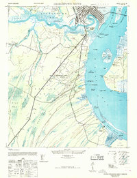
1968 · Georgetown South
USGS Topo · 1:24,000

1974 · Georgetown
USGS Topo · 1:250,000