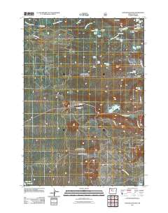
2011 Map of Santiam Junction
USGS Topo · Published 2011About this map
The Old Santiam Wagon Rd cuts a historic path across this high-elevation landscape, following a legacy route through the Cascades that once served as a vital freight link. By 2011, the area near Santiam Junction evolved into a hub for recreation and transportation, anchored by the Santiam Junction State Airport and the seasonal activity at Hoodoo Ski Bowl. The map reveals a transition from these modern thoroughfares to a dense network of glacial lakes and volcanic features.
Find a feature on this map
41 named features on this map. Tap any name to fly to it.
Don’t see what you’re looking for? This feature index may not catch every label — zoom into the map to look around manually.
Map Details
Editions of this 2011 Santiam Junction Map
This is the sole edition of this map. No revisions or reprints were ever made.
Other maps of this area

1927 · Mt. Jefferson
USGS Topo · 1:125,000

1929 · Mill City
USGS Topo · 1:125,000

1929 · Three Sisters
USGS Topo · 1:125,000

1930 · Mt. Jefferson
USGS Topo · 1:125,000

1932 · Three Sisters
USGS Topo · 1:125,000

1934 · Mc Kenzie Bridge
USGS Topo · 1:96,000

1940 · Mc Kenzie Bridge
USGS Topo · 1:125,000

1953 · Salem
USGS Topo · 1:250,000

1954 · Salem
USGS Topo · 1:250,000

1955 · Echo Mountain
USGS Topo · 1:62,500