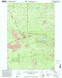
1997 Map of Santiam Junction
USGS Topo · Published 2001About this map
Santiam Junction sits at the strategic convergence of mountain routes through the High Cascades, serving as a hub for both travel and forest management within the Willamette National Forest. This 1997 revision shows a landscape where geologic activity and modern recreation meet, characterized by extensive lava flows and volcanic features like Nash Crater, Sand Mountain, and Hoodoo Butte. The inclusion of the Old Wagon Road provides a glimpse into the early transportation corridors used before the modern highway system was established.
Find a feature on this map
54 named features on this map. Tap any name to fly to it.
Don’t see what you’re looking for? This feature index may not catch every label — zoom into the map to look around manually.
Map Details
Editions of this 1997 Santiam Junction Map
This is the sole edition of this map. No revisions or reprints were ever made.
Other maps of this area

1927 · Mt. Jefferson
USGS Topo · 1:125,000

1929 · Mill City
USGS Topo · 1:125,000

1929 · Three Sisters
USGS Topo · 1:125,000

1930 · Mt. Jefferson
USGS Topo · 1:125,000

1932 · Three Sisters
USGS Topo · 1:125,000

1934 · Mc Kenzie Bridge
USGS Topo · 1:96,000

1940 · Mc Kenzie Bridge
USGS Topo · 1:125,000

1953 · Salem
USGS Topo · 1:250,000

1954 · Salem
USGS Topo · 1:250,000

1955 · Echo Mountain
USGS Topo · 1:62,500