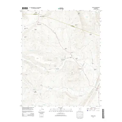
2013 Map of Sapello
USGS Topo · Published 2013About this map
Sapello and its surrounding mountain valleys are meticulously documented in this 2013 survey, showing a landscape defined by watercourses and historical settlements. The Sapello River and Manuelitas Cr serve as the primary drainages, carving through canyons like Cañon de Duran and Cañon del Angosto. Numerous small villages such as Canoncito, Manuelitas, and Tierra Monte are connected by NM-94, while higher elevations feature landmarks like Fragoso Ridge and Cerro de la Cruz.
Find a feature on this map
45 named features on this map. Tap any name to fly to it.
Don’t see what you’re looking for? This feature index may not catch every label — zoom into the map to look around manually.
Map Details
Editions of this 2013 Sapello Map
This is the sole edition of this map. No revisions or reprints were ever made.
Other maps of this area

1889 · Las Vegas
USGS Topo · 1:125,000

1891 · Las Vegas
USGS Topo · 1:125,000

1893 · Las Vegas
USGS Topo · 1:125,000

1954 · Santa Fe
USGS Topo · 1:250,000

1958 · Santa Fe
USGS Topo · 1:250,000

1961 · El Porvenir
USGS Topo · 1:24,000

1961 · Montezuma
USGS Topo · 1:24,000

1963 · Lake Isabel
USGS Topo · 1:24,000

1963 · Rainsville
USGS Topo · 1:24,000
1963 · Las Vegas NW
USGS Topo · 1:24,000