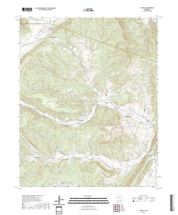
2023 Map of Sapello
USGS Topo · Published 2023About this map
The Sapello River and Manuelitas Creek converge in this northern New Mexico landscape, shaping a series of narrow valleys where small settlements have long been established. In the southern portion of the sheet, the community of Sapello sits near the river's bend, while upstream travelers encounter San Ignacio and its associated San Ignacio Cem. The northern terrain is defined by a succession of canyons, including Cañon de Medio and Cañon de Horno, which drain toward the central valley systems.
Find a feature on this map
46 named features on this map. Tap any name to fly to it.
Don’t see what you’re looking for? This feature index may not catch every label — zoom into the map to look around manually.
Map Details
Editions of this 2023 Sapello Map
This is the sole edition of this map. No revisions or reprints were ever made.
Other maps of this area

1889 · Las Vegas
USGS Topo · 1:125,000

1891 · Las Vegas
USGS Topo · 1:125,000

1893 · Las Vegas
USGS Topo · 1:125,000

1954 · Santa Fe
USGS Topo · 1:250,000

1958 · Santa Fe
USGS Topo · 1:250,000

1961 · El Porvenir
USGS Topo · 1:24,000

1961 · Montezuma
USGS Topo · 1:24,000

1963 · Lake Isabel
USGS Topo · 1:24,000

1963 · Rainsville
USGS Topo · 1:24,000
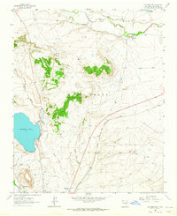
1963 · Las Vegas NW
USGS Topo · 1:24,000