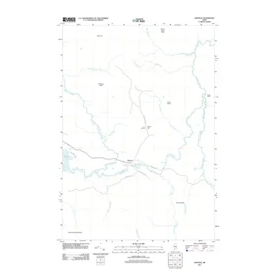
2011 Map of Saponac
USGS Topo · Published 2011About this map
Saponac lies at the heart of this landscape, where the Passadumkeag River winds through a complex network of wetlands and ridges. The river, fed by numerous tributaries such as Madagascal Stream, Bowers Brook, and Nicatous Stream, serves as the primary drainage for the area. A notable geographic feature, The Horseback, runs along the eastern portion of the map, illustrating the glacial heritage of the terrain near Bog Brook.
Find a feature on this map
29 named features on this map. Tap any name to fly to it.
Don’t see what you’re looking for? This feature index may not catch every label — zoom into the map to look around manually.
Map Details
Editions of this 2011 Saponac Map
This is the sole edition of this map. No revisions or reprints were ever made.
Other maps of this area

1920 · Winn
USGS Topo · 1:62,500

1931 · Springfield
USGS Topo · 1:48,000

1931 · Saponac
USGS Topo · 1:48,000

1932 · Nicatous Lake
USGS Topo · 1:48,000

1934 · Saponac
USGS Topo · 1:62,500

1934 · Nicatous Lake
USGS Topo · 1:62,500

1934 · Springfield
USGS Topo · 1:62,500

1954 · Millinocket
USGS Topo · 1:250,000

1957 · Saponac
USGS Topo · 1:62,500

1958 · Millinocket
USGS Topo · 1:250,000