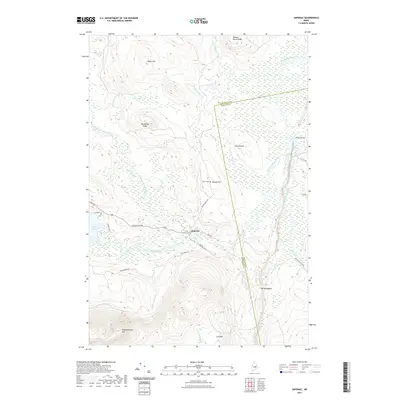
2021 Map of Saponac
USGS Topo · Published 2021About this map
Saponac and the surrounding woodlands of Penobscot and Hancock counties are defined by a complex network of wetlands and mountain ridges. The Passadumkeag River snakes through the center of the sheet, fed by numerous tributaries such as Madagascal Stream, Rocky Brook, and Trout Brook. The topography is marked by significant elevations including Passadumkeag Mtn and Lord Mtn, contrasting with the low-lying expanse of Oaks Bog and Grass Island.
Find a feature on this map
39 named features on this map. Tap any name to fly to it.
Don’t see what you’re looking for? This feature index may not catch every label — zoom into the map to look around manually.
Map Details
Editions of this 2021 Saponac Map
This is the sole edition of this map. No revisions or reprints were ever made.
Other maps of this area

1920 · Winn
USGS Topo · 1:62,500

1931 · Springfield
USGS Topo · 1:48,000

1931 · Saponac
USGS Topo · 1:48,000

1932 · Nicatous Lake
USGS Topo · 1:48,000

1934 · Saponac
USGS Topo · 1:62,500

1934 · Nicatous Lake
USGS Topo · 1:62,500

1934 · Springfield
USGS Topo · 1:62,500

1954 · Millinocket
USGS Topo · 1:250,000

1957 · Saponac
USGS Topo · 1:62,500

1958 · Millinocket
USGS Topo · 1:250,000