
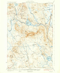
1934 Map of Saponac
USGS Topo · Published 1934About this map
Burlington and Lowell serve as the primary northern settlements in this rural Maine landscape, which is defined by the winding course of the Passadumkeag River. The area’s educational and civic history is anchored by local institutions like the Longfellow Sch, Bradbury Sch, and Upper Sch, while Town House Hill marks a central point for community gathering. In the eastern portion of the quadrangle, Morrison Mill reflects the local industry dependent on the region's abundant water power.
Find a feature on this map
73 named features on this map. Tap any name to fly to it.
Don’t see what you’re looking for? This feature index may not catch every label — zoom into the map to look around manually.
Map Details
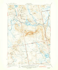
Editions of this 1934 Saponac Map
3 editions found
Other maps of this area

1902 · Orono
USGS Topo · 1:62,500

1917 · Passadumkeag
USGS Topo · 1:62,500

1920 · Winn
USGS Topo · 1:62,500

1929 · Great Pond
USGS Topo · 1:48,000

1929 · Lead Mountain
USGS Topo · 1:48,000

1931 · Springfield
USGS Topo · 1:48,000

1931 · Saponac
USGS Topo · 1:48,000

1932 · Nicatous Lake
USGS Topo · 1:48,000

1932 · Lead Mountain
USGS Topo · 1:62,500

1932 · Great Pond
USGS Topo · 1:62,500