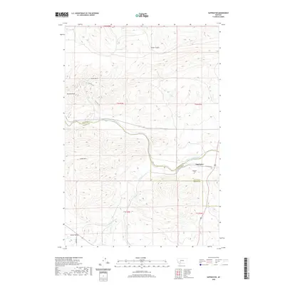
2020 Map of Sappington
USGS Topo · Published 2020About this map
The Jefferson River carves a central path through this Montana landscape, where the borders of Jefferson, Madison, and Gallatin counties converge. The settlement of Sappington sits near the river's bend, serving as a focal point for local history alongside the nearby Sappington Cem. The terrain is defined by significant elevations like the London Hills and Dolomite Knob, while various water sources such as Round Spring and Huller Springs dot the higher ground. To the south, the landscape transitions into Summit Valley, as a network of drainages including Antelope Cr and Sand Cr feed into the regional waterway system. Historical navigation through these hills is evident in the Eastside Trail, which winds through the western ridges above Greer Gulch.
Find a feature on this map
25 named features on this map. Tap any name to fly to it.
Don’t see what you’re looking for? This feature index may not catch every label — zoom into the map to look around manually.
Map Details
Editions of this 2020 Sappington Map
This is the sole edition of this map. No revisions or reprints were ever made.
Other maps of this area

1888 · Three Forks
USGS Topo · 1:250,000

1894 · Three Forks
USGS Topo · 1:250,000

1895 · Three Forks
USGS Topo · 1:250,000

1947 · Bozeman
USGS Topo · 1:250,000

1948 · Bozeman
USGS Topo · 1:250,000

1949 · Norris
USGS Topo · 1:62,500

1950 · Three Forks
USGS Topo · 1:62,500

1950 · Jefferson Island
USGS Topo · 1:62,500

1950 · Harrison
USGS Topo · 1:62,500

1951 · Norris
USGS Topo · 1:62,500