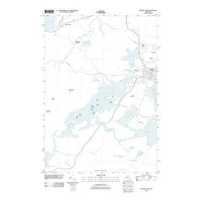
2010 Map of Saranac Lake
USGS Topo · Published 2010About this map
Saranac Lake serves as the focal point of this Adirondack region, where the Saranac River flows toward Lake Flower amidst a landscape defined by an intricate network of glacial lakes and mountainous ridges. The village's northeastern reach is guarded by Mount Pisgah, home to the Mount Pisgah Ski Area, while the central waters of Lower Saranac Lake are punctuated by numerous landforms including Eagle Island, Sable Island, and Fern Island.
Find a feature on this map
66 named features on this map. Tap any name to fly to it.
Don’t see what you’re looking for? This feature index may not catch every label — zoom into the map to look around manually.
Map Details
Editions of this 2010 Saranac Lake Map
This is the sole edition of this map. No revisions or reprints were ever made.
Other maps of this area

1902 · Saranac
USGS Topo · 1:62,500

1904 · Saranac
USGS Topo · 1:62,500

1904 · Santanoni
USGS Topo · 1:62,500

1904 · Long Lake
USGS Topo · 1:62,500

1905 · Saint Regis
USGS Topo · 1:62,500

1948 · Ogdensburg
USGS Topo · 1:250,000

1951 · Ogdensburg
USGS Topo · 1:250,000

1953 · Ogdensburg
USGS Topo · 1:250,000

1953 · Santanoni
USGS Topo · 1:62,500

1955 · Long Lake
USGS Topo · 1:62,500