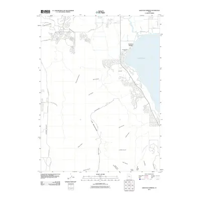
2011 Map of Saratoga Springs
USGS Topo · Published 2011About this map
Saratoga Springs appears here as a growing community on the northwestern shores of Utah Lake, during a period of significant suburban expansion into the eastern foothills of the Lake Mountains. The landscape is defined by the transition from the aquatic environment of the Jordan River and Gardner Canal to the arid slopes of the western range. Transportation routes such as the E Pony Express Pkwy follow historical corridors, connecting the lakefront to Cedar Valley.
Find a feature on this map
42 named features on this map. Tap any name to fly to it.
Don’t see what you’re looking for? This feature index may not catch every label — zoom into the map to look around manually.
Map Details
Editions of this 2011 Saratoga Springs Map
This is the sole edition of this map. No revisions or reprints were ever made.
Other maps of this area

1885 · Salt Lake
USGS Topo · 1:250,000

1885 · Tooele Valley
USGS Topo · 1:250,000

1915 · Fairfield
USGS Topo · 1:62,500

1917 · Fairfield
USGS Topo · 1:62,500

1947 · Fivemile Pass
USGS Topo · 1:62,500

1947 · Goshen Pass
USGS Topo · 1:24,000

1949 · Goshen Pass
USGS Topo · 1:24,000
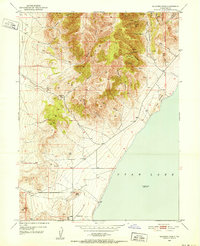
1950 · Soldiers Pass
USGS Topo · 1:24,000

1950 · Pelican Point
USGS Topo · 1:24,000
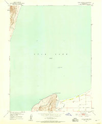
1950 · Lincoln Point
USGS Topo · 1:24,000