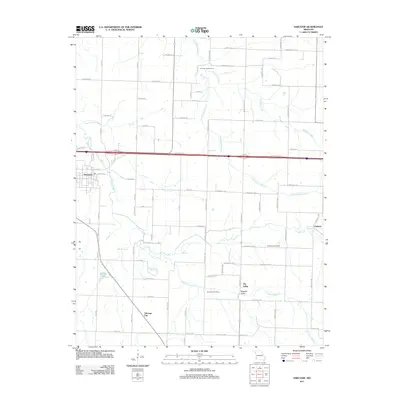
2011 Map of Sarcoxie
USGS Topo · Published 2011About this map
Sarcoxie stands at the western edge of this 2011 landscape, where the town's street grid meets the winding course of Center Creek. The area is defined by a dense network of springs and drainage branches, reflecting a hydrology that includes Cave Spring, Button Spring, Linn Spring, and Clarkson Spring. Settlement patterns outside the main town are anchored by smaller communities like Talmage City and Dry Valley, the latter of which features the Dry Valley Cemetery and Pleasant Valley to the south.
Find a feature on this map
54 named features on this map. Tap any name to fly to it.
Don’t see what you’re looking for? This feature index may not catch every label — zoom into the map to look around manually.
Map Details
Editions of this 2011 Sarcoxie Map
This is the sole edition of this map. No revisions or reprints were ever made.
Other maps of this area

1886 · Greenfield
USGS Topo · 1:125,000

1886 · Carthage
USGS Topo · 1:125,000

1888 · Greenfield
USGS Topo · 1:125,000

1894 · Carthage
USGS Topo · 1:125,000

1921 · Stotts City
USGS Topo · 1:62,500

1921 · Sarcoxie
USGS Topo · 1:62,500

1943 · Ritchey
USGS Topo · 1:62,500

1943 · Monett
USGS Topo · 1:62,500

1945 · Harrison
USGS Topo · 1:250,000

1947 · Joplin
USGS Topo · 1:250,000