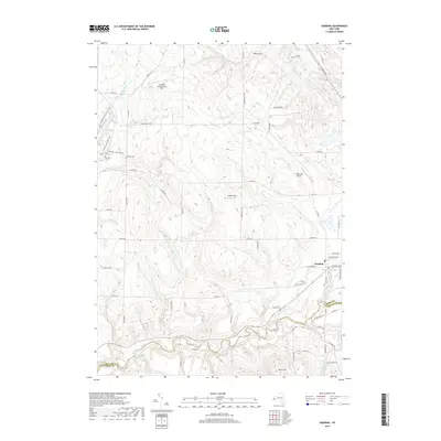
2019 Map of Sardinia
USGS Topo · Published 2019About this map
Cattaraugus Creek carves a deep valley along the southern border of this map, marking the county line between Erie and Cattaraugus. To the north, the terrain transitions into a complex network of glacial valleys and ridges, where the settlement of Sardinia sits at the junction of several rural roads. The landscape is defined by its water systems, including the headwaters of E Br Cazenovia Cr and numerous smaller drainages like Spencer Brook and Graff Brook. The presence of Gentzke Aeronautical Park, High Acres Airport, and Basher-Field suggests a local tradition of general aviation and private airstrips tucked into the rolling uplands. Local history is anchored by the Pratham Cem and Quaker Cem, while hikers and winter sports enthusiasts are served by several trail systems, including the Main Sprague Brook Loop and a dedicated Cross Country Ski Loop in the northwestern hills.
Find a feature on this map
71 named features on this map. Tap any name to fly to it.
Don’t see what you’re looking for? This feature index may not catch every label — zoom into the map to look around manually.
Map Details
Editions of this 2019 Sardinia Map
This is the sole edition of this map. No revisions or reprints were ever made.
Other maps of this area

1923 · Arcade
USGS Topo · 1:62,500

1924 · Ellicottville
USGS Topo · 1:62,500

1924 · Franklinville
USGS Topo · 1:62,500

1925 · Springville
USGS Topo · 1:62,500

1925 · Arcade
USGS Topo · 1:62,500

1941 · Ellicottville
USGS Topo · 1:62,500

1942 · Franklinville
USGS Topo · 1:62,500
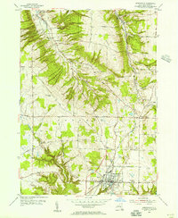
1954 · Springville
USGS Topo · 1:24,000
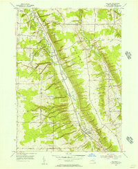
1955 · Holland
USGS Topo · 1:24,000
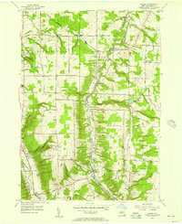
1955 · Colden
USGS Topo · 1:24,000