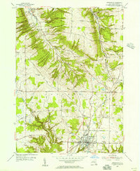
1954 Map of Springville
USGS Topo · Published 1955About this map
Springville serves as the primary hub of this 1954 survey of southern Erie County, anchored by civic landmarks like the Griffith Institute and Chaffee Hosp. The village's layout is meticulously detailed, showing the concentration of residential and commercial structures along Waverly Street and North Street near the Baltimore and Ohio rail line. Beyond the village, the landscape shifts into a series of ridges and creek valleys, including the prominent Eighteenmile Creek and Cazenovia Creek.
Find a feature on this map
52 named features on this map. Tap any name to fly to it.
Don’t see what you’re looking for? This feature index may not catch every label — zoom into the map to look around manually.
Map Details
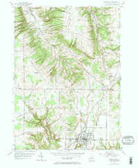
Editions of this 1954 Springville Map
2 editions found
Other maps of this area

1905 · Eden
USGS Topo · 1:62,500

1907 · Eden
USGS Topo · 1:62,500

1923 · Cattaraugus
USGS Topo · 1:62,500

1924 · Ellicottville
USGS Topo · 1:62,500

1925 · Springville
USGS Topo · 1:62,500

1938 · Cattaraugus
USGS Topo · 1:62,500

1941 · Cattaraugus
USGS Topo · 1:62,500

1941 · Ellicottville
USGS Topo · 1:62,500

1944 · Eden
USGS Topo · 1:62,500

1944 · Hamburg
USGS Topo · 1:31,680