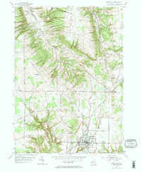
1954 Map of Springville
USGS Topo · Published 1967About this map
Springville serves as the primary hub in this mid-century survey of southern Erie County, anchored by the Griffith Institute and Chaffee Hosp. The village's character is defined by its position on the Baltimore and Ohio railroad line, which cuts through the valley and connects the local economy to the broader region. The surrounding townships of Boston, Concord, and Colden are marked by a high density of rural cemeteries, including St Paul Cem, Castle Hill Cem, and Maplewood Cem, which offer significant genealogical value for researchers tracing long-standing family plots.
Find a feature on this map
50 named features on this map. Tap any name to fly to it.
Don’t see what you’re looking for? This feature index may not catch every label — zoom into the map to look around manually.
Map Details
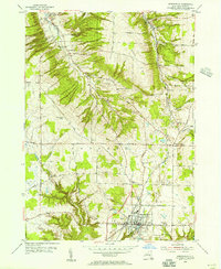
Editions of this 1954 Springville Map
2 editions found
Other maps of this area

1905 · Eden
USGS Topo · 1:62,500

1907 · Eden
USGS Topo · 1:62,500

1923 · Cattaraugus
USGS Topo · 1:62,500

1924 · Ellicottville
USGS Topo · 1:62,500

1925 · Springville
USGS Topo · 1:62,500

1938 · Cattaraugus
USGS Topo · 1:62,500

1941 · Cattaraugus
USGS Topo · 1:62,500

1941 · Ellicottville
USGS Topo · 1:62,500

1944 · Eden
USGS Topo · 1:62,500

1944 · Hamburg
USGS Topo · 1:31,680