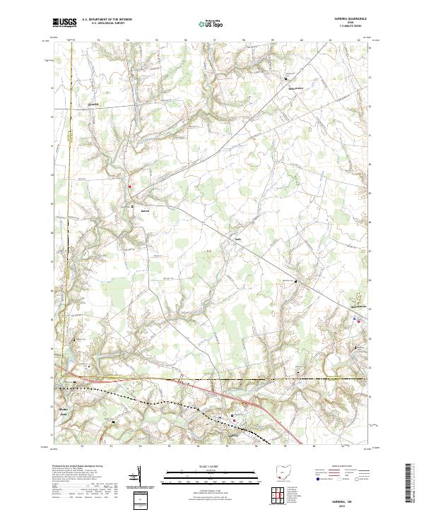
2023 Map of Sardinia
USGS Topo · Published 2023About this map
The villages of Sardinia and Buford anchor this rural landscape along the border of Brown and Highland counties. The region is defined by the intricate drainage systems of the White Oak Creek watershed, including the North Fork White Oak Creek and the East Fork White Oak Creek. For genealogists and local historians, the sheet is particularly dense with small family and community burial sites, from the centrally located Bells Run Cem and Hollowtown Cem to the outlying McNeely Cem near Mowrystown.
Find a feature on this map
62 named features on this map. Tap any name to fly to it.
Don’t see what you’re looking for? This feature index may not catch every label — zoom into the map to look around manually.
Map Details
Editions of this 2023 Sardinia Map
This is the sole edition of this map. No revisions or reprints were ever made.
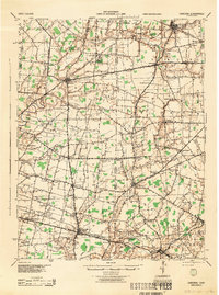
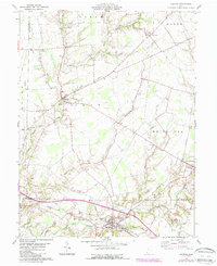
Historical Maps of Needfull Through Time
4 maps found