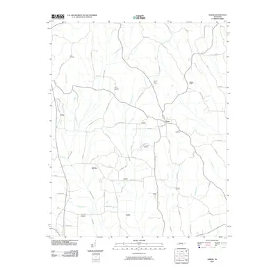
2010 Map of Sardis
USGS Topo · Published 2010About this map
Sardis serves as the central hub for this portion of Henderson County, situated at a crossroad where several rural routes converge. The landscape is defined by its numerous small burial grounds, such as Edge Cemetery and Old Salem Cemetery, which reflect the generations of families that have farmed this terrain. Water management is a significant feature of the local topography, evidenced by the presence of the Claiborne Wells Dam and channelized waterways like the Middleton Creek Canal and Alexander Creek Canal. These drainage projects intersect with natural flows like Big Hurricane Creek and Brooks Creek, shaping the agricultural character of the region. To the east, Presley Ridge provides a distinct change in elevation, while the surrounding roads, including Marls Bluff Rd and Wake Forest Rd, connect the scattered homesteads and private cemeteries that mark the rural heritage of Tennessee.
Find a feature on this map
73 named features on this map. Tap any name to fly to it.
Don’t see what you’re looking for? This feature index may not catch every label — zoom into the map to look around manually.
Map Details
Editions of this 2010 Sardis Map
This is the sole edition of this map. No revisions or reprints were ever made.
Other maps of this area

1936 · Hookers Bend
USGS Topo · 1:24,000

1936 · Scotts Hill
USGS Topo · 1:24,000

1936 · Leapwood
USGS Topo · 1:24,000

1936 · Thurman
USGS Topo · 1:24,000

1936 · Sardis
USGS Topo · 1:24,000

1936 · Reagan
USGS Topo · 1:24,000

1936 · Milledgeville
USGS Topo · 1:24,000

1936 · Enville
USGS Topo · 1:24,000

1936 · Life
USGS Topo · 1:24,000

1949 · Hookers Bend
USGS Topo · 1:24,000