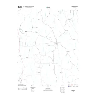
2013 Map of Sardis
USGS Topo · Published 2013About this map
Sardis and Hinkle anchor this agricultural landscape in southeastern Henderson County, where the terrain is defined by a network of engineered waterways and natural drainages. Modern channelization is evident in the presence of the Hurricane Creek Canal, Middleton Creek Canal, and Alexander Creek Canal, which run alongside traditional meandering streams like Big Hurricane Creek and Flats Creek. This system of canals suggests a history of significant land management to support the rural economy.
Find a feature on this map
100 named features on this map. Tap any name to fly to it.
Don’t see what you’re looking for? This feature index may not catch every label — zoom into the map to look around manually.
Map Details
Editions of this 2013 Sardis Map
This is the sole edition of this map. No revisions or reprints were ever made.
Other maps of this area

1936 · Hookers Bend
USGS Topo · 1:24,000

1936 · Scotts Hill
USGS Topo · 1:24,000

1936 · Leapwood
USGS Topo · 1:24,000

1936 · Thurman
USGS Topo · 1:24,000

1936 · Sardis
USGS Topo · 1:24,000

1936 · Reagan
USGS Topo · 1:24,000

1936 · Milledgeville
USGS Topo · 1:24,000

1936 · Enville
USGS Topo · 1:24,000

1936 · Life
USGS Topo · 1:24,000

1949 · Hookers Bend
USGS Topo · 1:24,000