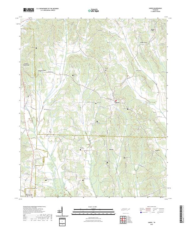
2022 Map of Sardis
USGS Topo · Published 2022About this map
Sardis serves as a central hub in this West Tennessee landscape, where the boundaries of Henderson, Hardin, and Chester counties converge. The terrain is defined by an intricate drainage system including the Hurricane Cr Canal and Big Hurricane Creek, which shaped the placement of early settlements and agricultural tracts. For those tracing family histories, the map is densely populated with small burial grounds and landmarks such as McBride Cem, Spring Hill Cem, and the Hurricane Church-Cem. The northern portion is marked by the community of Scotts Hill and the branching waters of Middle Prong Doe Creek, while the southern reaches extend toward Milledgeville and the winding course of Middleton Creek. The transition from natural stream beds to channelized waterways like the canal reflects decades of land management in these rural timber and farming corridors.
Find a feature on this map
118 named features on this map. Tap any name to fly to it.
Don’t see what you’re looking for? This feature index may not catch every label — zoom into the map to look around manually.
Map Details
Editions of this 2022 Sardis Map
This is the sole edition of this map. No revisions or reprints were ever made.
Other maps of this area

1936 · Hookers Bend
USGS Topo · 1:24,000

1936 · Scotts Hill
USGS Topo · 1:24,000

1936 · Leapwood
USGS Topo · 1:24,000

1936 · Thurman
USGS Topo · 1:24,000

1936 · Sardis
USGS Topo · 1:24,000

1936 · Reagan
USGS Topo · 1:24,000

1936 · Milledgeville
USGS Topo · 1:24,000

1936 · Enville
USGS Topo · 1:24,000

1936 · Life
USGS Topo · 1:24,000

1949 · Hookers Bend
USGS Topo · 1:24,000