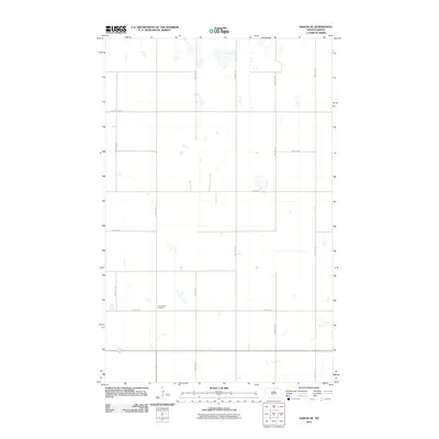
2011 Map of Sarles SE
USGS Topo · Published 2011About this map
The Evangelical Cemetery stands as a focal point for local history in this section of Cavalier County, marking a site of community heritage amidst the agricultural grid of the North Dakota prairie. The landscape is defined by a rigorous network of section-line roads, including 98th St Ne and County Hwy-12, which facilitate the movement of grain and machinery across the expansive flats. Numerous small, seasonal wetlands and prairie potholes are scattered across the terrain, particularly near 85th Ave Ne and 87th Ave Ne, illustrating the natural drainage patterns of the region. This survey captures the rural character of the area where the infrastructure of local commerce, such as 94th St Ne, serves as the primary connection between isolated farmsteads and the broader region.
Find a feature on this map
11 named features on this map. Tap any name to fly to it.
Don’t see what you’re looking for? This feature index may not catch every label — zoom into the map to look around manually.
Map Details
Editions of this 2011 Sarles SE Map
This is the sole edition of this map. No revisions or reprints were ever made.
Other maps of this area

1953 · Devils Lake
USGS Topo · 1:250,000

1956 · Devils Lake
USGS Topo · 1:250,000

1970 · Alsen
USGS Topo · 1:24,000

1970 · Sarles NE
USGS Topo · 1:24,000

1970 · Calvin
USGS Topo · 1:24,000

1970 · Sarles SE
USGS Topo · 1:24,000

1970 · Sarles
USGS Topo · 1:24,000

1970 · Hannah SW
USGS Topo · 1:24,000

1970 · Hannah
USGS Topo · 1:24,000

1970 · Munich
USGS Topo · 1:24,000