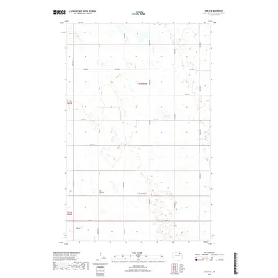
2017 Map of Sarles SE
USGS Topo · Published 2017About this map
Salem Evangelical Cem serves as a prominent landmark in this rural landscape of Cavalier County, marking the site of community memory and local heritage. The terrain is defined by the gentle drainage of Starkweather Coulee, which winds through the southern portion of the quadrangle. A structured grid of section lines and rural routes, including Co Rd 7 and Co Rd 12, facilitates movement across the agricultural expanse. The map illustrates the systematic organization of land under the Public Land Survey System, featuring divisions like t162n r63w and t162n r64w. This layout reflects the enduring agrarian character of North Dakota, where transport routes such as 99th St Ne and 83rd Ave Ne connect dispersed farmsteads and manage the natural watershed.
Find a feature on this map
22 named features on this map. Tap any name to fly to it.
Don’t see what you’re looking for? This feature index may not catch every label — zoom into the map to look around manually.
Map Details
Editions of this 2017 Sarles SE Map
This is the sole edition of this map. No revisions or reprints were ever made.
Other maps of this area

1953 · Devils Lake
USGS Topo · 1:250,000

1956 · Devils Lake
USGS Topo · 1:250,000

1970 · Alsen
USGS Topo · 1:24,000

1970 · Sarles NE
USGS Topo · 1:24,000

1970 · Calvin
USGS Topo · 1:24,000

1970 · Sarles SE
USGS Topo · 1:24,000

1970 · Sarles
USGS Topo · 1:24,000

1970 · Hannah SW
USGS Topo · 1:24,000

1970 · Hannah
USGS Topo · 1:24,000

1970 · Munich
USGS Topo · 1:24,000