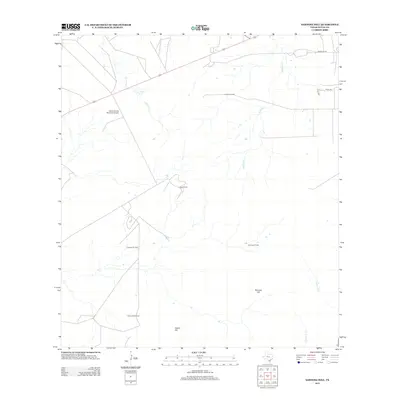
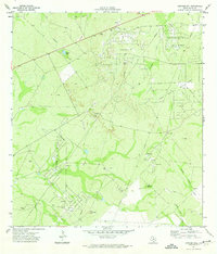
2013 Map of Sarnosa Hill
USGS Topo · Published 2013About this map
Duval Ranch and its associated airfield, the Duval County Ranch Co Airport, anchor this landscape in south-central Texas. The map illustrates a region defined by its energy infrastructure and natural topography, where the brush country meets active extraction sites. Extensive energy production is evident through the widespread distribution of petroleum interests, specifically the Lundell Oil Field, Colmena Oil Field, Sarnosa Oil Field, and Cedro Hill Oil Field.
Find a feature on this map
16 named features on this map. Tap any name to fly to it.
Don’t see what you’re looking for? This feature index may not catch every label — zoom into the map to look around manually.
Map Details
Editions of this 2013 Sarnosa Hill Map
This is the sole edition of this map. No revisions or reprints were ever made.
Other maps of this area

1956 · Freer
USGS Topo · 1:62,500

1956 · Las Mujeres
USGS Topo · 1:62,500

1956 · Laredo
USGS Topo · 1:250,000

1968 · Mills Bennett
USGS Topo · 1:24,000

1968 · Parrilla Creek NW
USGS Topo · 1:24,000

1968 · Parrilla Creek NE
USGS Topo · 1:24,000
1971 · Freer North
USGS Topo · 1:24,000
1971 · Freer South
USGS Topo · 1:24,000
1971 · Freer NW
USGS Topo · 1:24,000
1971 · Sarnosa Hill
USGS Topo · 1:24,000