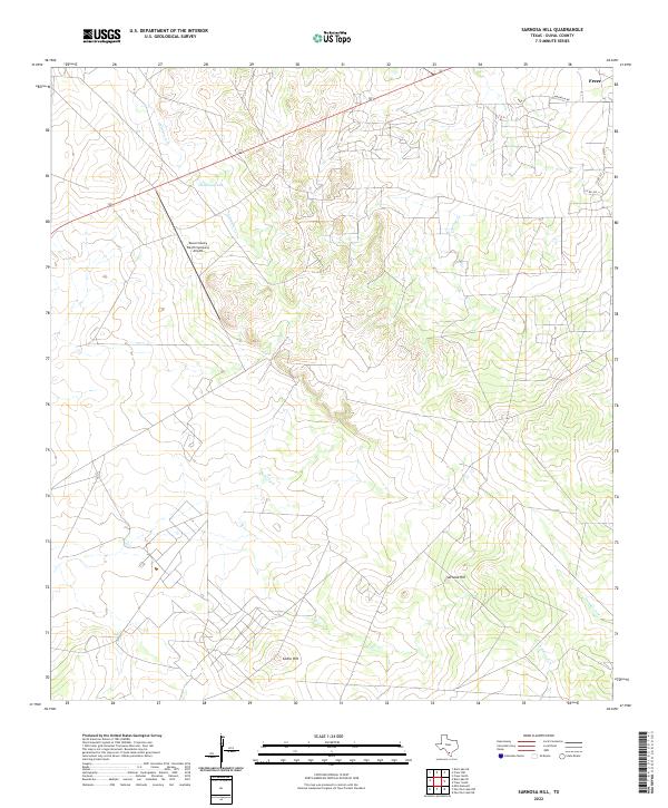
2022 Map of Sarnosa Hill
USGS Topo · Published 2022About this map
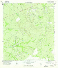
Sarnosa Hill and Cedro Hill dominate this South Texas landscape in Duval County, a region characterized by its brush country and ranching legacy. The terrain is marked by ephemeral drainages such as Soledad Cr, Animas Cr N, and Colmena Cr, which define the watershed patterns north of the Rio Grande Valley. Near the settlement of Freer, the infrastructure reflects the commercial and logistical needs of the area, including the Duval County Ranch Company Airport and established local routes like Magnolia Rd. This 2022 survey illustrates a landscape of large-scale landholdings and water management features like Colmena Tank, essential for sustaining livestock and wildlife in this semi-arid environment.
Find a feature on this map
12 named features on this map. Tap any name to fly to it.
Don’t see what you’re looking for? This feature index may not catch every label — zoom into the map to look around manually.
Map Details
Editions of this 2022 Sarnosa Hill Map
This is the sole edition of this map. No revisions or reprints were ever made.
Other maps of this area

1956 · Freer
USGS Topo · 1:62,500

1956 · Las Mujeres
USGS Topo · 1:62,500

1956 · Laredo
USGS Topo · 1:250,000

1968 · Mills Bennett
USGS Topo · 1:24,000

1968 · Parrilla Creek NW
USGS Topo · 1:24,000

1968 · Parrilla Creek NE
USGS Topo · 1:24,000
1971 · Freer North
USGS Topo · 1:24,000
1971 · Freer South
USGS Topo · 1:24,000
1971 · Freer NW
USGS Topo · 1:24,000
1971 · Sarnosa Hill
USGS Topo · 1:24,000