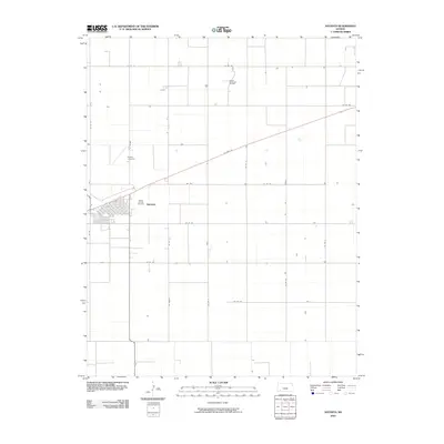
2010 Map of Satanta
USGS Topo · Published 2010About this map
Satanta serves as the primary hub in this portion of Haskell County, established along the diagonal corridor of US Hwy 56. The landscape is defined by the rigid geometry of section lines and agricultural planning, with a dense network of county roads such as Co Rd FF and 220 th Rd facilitating local transit across the plains.
Find a feature on this map
22 named features on this map. Tap any name to fly to it.
Don’t see what you’re looking for? This feature index may not catch every label — zoom into the map to look around manually.
Map Details
Editions of this 2010 Satanta Map
This is the sole edition of this map. No revisions or reprints were ever made.
Other maps of this area

1891 · Larned
USGS Topo · 1:125,000

1896 · Garden
USGS Topo · 1:125,000

1900 · Lakin
USGS Topo · 1:125,000

1944 · Moscow
USGS Topo · 1:62,500

1945 · Moscow
USGS Topo · 1:62,500

1955 · Dodge City
USGS Topo · 1:250,000

1958 · Dodge City
USGS Topo · 1:250,000

1959 · Dodge City
USGS Topo · 1:250,000

1960 · Hickok SE
USGS Topo · 1:24,000

1960 · Garden City 3 SW
USGS Topo · 1:24,000