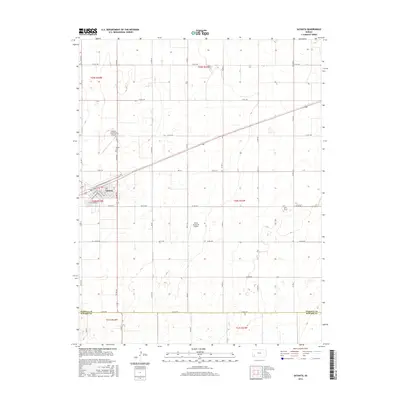
2016 Map of Satanta
USGS Topo · Published 2016About this map
Satanta serves as the primary hub in this southwestern Kansas landscape, where the grid-based road system of the High Plains meets the diagonal path of the regional highway and railroad corridor. The town's layout is defined by streets with tribal names such as Nez Perce St, Wichita Ave, and Seminole Ave. This survey shows the area's agricultural character, dominated by a vast network of section roads like Co Rd 210 and 24 Mile Rd that partition the land. To the north of the main settlement lies the Dudley Cem, a vital point for genealogical research in Haskell County. Aviation infrastructure is surprisingly prevalent for the region, with both the Satanta Municipal Airport and the private Anton Flying UV Airport serving the local farming and ranching economy. The southern edge of the map identifies the geopolitical transition at the Haskell Co Seward Co line.
Find a feature on this map
28 named features on this map. Tap any name to fly to it.
Don’t see what you’re looking for? This feature index may not catch every label — zoom into the map to look around manually.
Map Details
Editions of this 2016 Satanta Map
This is the sole edition of this map. No revisions or reprints were ever made.
Other maps of this area

1891 · Larned
USGS Topo · 1:125,000

1896 · Garden
USGS Topo · 1:125,000

1900 · Lakin
USGS Topo · 1:125,000

1944 · Moscow
USGS Topo · 1:62,500

1945 · Moscow
USGS Topo · 1:62,500

1955 · Dodge City
USGS Topo · 1:250,000

1958 · Dodge City
USGS Topo · 1:250,000

1959 · Dodge City
USGS Topo · 1:250,000

1960 · Hickok SE
USGS Topo · 1:24,000

1960 · Garden City 3 SW
USGS Topo · 1:24,000