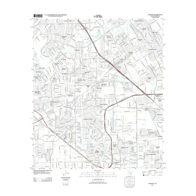
2013 Map of Satsuma
USGS Topo · Published 2013About this map
Cypress Creek and its many tributaries, including Pillot Gully and Faulkey Gully, define the suburban landscape of Northwest Harris County in this 2013 survey. The area shows a dense network of residential developments and master-planned communities like Canterbury Forest, Huntwick Forest, and Champions East. This modern geography reveals how the region’s natural waterways and drainage basins have been integrated into the sprawling residential corridors north of Houston.
Find a feature on this map
408 named features on this map. Tap any name to fly to it.
Don’t see what you’re looking for? This feature index may not catch every label — zoom into the map to look around manually.
Map Details
Editions of this 2013 Satsuma Map
This is the sole edition of this map. No revisions or reprints were ever made.
Other maps of this area

1915 · Houston Heights
USGS Topo · 1:24,000

1915 · Cypress
USGS Topo · 1:24,000

1915 · Addicks
USGS Topo · 1:24,000

1915 · Hillendahl
USGS Topo · 1:24,000

1916 · Rose Hill
USGS Topo · 1:24,000

1916 · Aldine
USGS Topo · 1:24,000

1916 · Louetta
USGS Topo · 1:24,000

1916 · Satsuma
USGS Topo · 1:24,000

1916 · Spring
USGS Topo · 1:24,000

1918 · Cypress
USGS Topo · 1:31,680