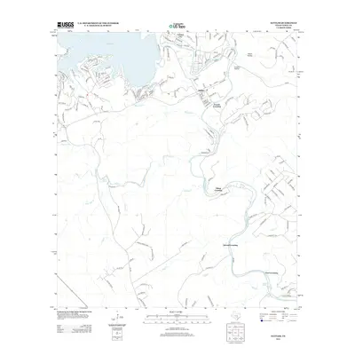
2013 Map of Sattler
USGS Topo · Published 2013About this map
The Guadalupe River carves a winding path through this portion of Comal County, defining the local landscape with its series of river crossings. From the high waters of Canyon Lake near Canyon City, the river snakes southward past the settlement of Sattler, marked by iconic landmarks such as First Crossing through Fourth Crossing. These crossings and the various springs along the riverbanks, including Hueco Springs and Waco Spring, suggest a region historically tied to the river's flow for both transit and local industry.
Find a feature on this map
29 named features on this map. Tap any name to fly to it.
Don’t see what you’re looking for? This feature index may not catch every label — zoom into the map to look around manually.
Map Details
Editions of this 2013 Sattler Map
This is the sole edition of this map. No revisions or reprints were ever made.
Other maps of this area

1920 · Smithsons Valley
USGS Topo · 1:62,500

1925 · New Braunfels No 1
USGS Topo · 1:48,000

1925 · Hunter No 3
USGS Topo · 1:48,000

1925 · Smithson Valley No. 1
USGS Topo · 1:48,000

1927 · New Braunfels
USGS Topo · 1:62,500

1927 · Smithson Valley
USGS Topo · 1:62,500

1929 · Hunter
USGS Topo · 1:62,500

1929 · Smithson Valley
USGS Topo · 1:62,500

1940 · Smithson Valley
USGS Topo · 1:62,500

1953 · Bat Cave
USGS Topo · 1:24,000