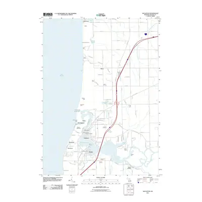
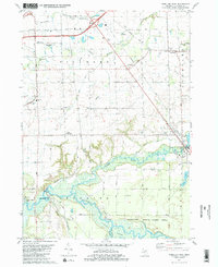
2011 Map of Saugatuck
USGS Topo · Published 2011About this map
Saugatuck and Douglas anchor the Lake Michigan shoreline in this 2011 survey, situated where the Kalamazoo River widens into Kalamazoo Lake before meeting the open water. The map documents a coastal landscape defined by shifting dunes and established maritime infrastructure, including the Old Saugatuck Light House and prominent landforms like Mount Baldhead and Pelican Peak. Along the river’s winding path toward the interior, several marinas such as Schippas Marina and Tower Marine indicate the area's transition into a modern recreational boating hub.
Find a feature on this map
87 named features on this map. Tap any name to fly to it.
Don’t see what you’re looking for? This feature index may not catch every label — zoom into the map to look around manually.
Map Details
Editions of this 2011 Saugatuck Map
This is the sole edition of this map. No revisions or reprints were ever made.
Other maps of this area

1928 · Fennville
USGS Topo · 1:62,500

1929 · Holland
USGS Topo · 1:62,500

1931 · Fennville
USGS Topo · 1:62,500

1932 · Holland
USGS Topo · 1:62,500

1958 · Racine
USGS Topo · 1:250,000

1962 · Racine
USGS Topo · 1:250,000
1972 · Holland East
USGS Topo · 1:24,000
1972 · Holland West
USGS Topo · 1:24,000
1981 · Fennville
USGS Topo · 1:24,000
1981 · Hamilton West
USGS Topo · 1:24,000