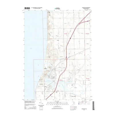
2014 Map of Saugatuck
USGS Topo · Published 2014About this map
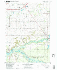
The Kalamazoo River dominates the landscape as it winds toward its outlet at Lake Michigan, creating a complex network of waterways including Kalamazoo Lake, the Oxbow, and several bayous. The twin communities of Saugatuck and Douglas serve as the primary hubs, connected by a layout that mirrors the intricate shoreline. The geography reveals a distinct contrast between the developed resort and harbor areas and the towering coastal dunes, most notably Mt Baldhead and Baldy.
Find a feature on this map
81 named features on this map. Tap any name to fly to it.
Don’t see what you’re looking for? This feature index may not catch every label — zoom into the map to look around manually.
Map Details
Editions of this 2014 Saugatuck Map
This is the sole edition of this map. No revisions or reprints were ever made.
Other maps of this area

1928 · Fennville
USGS Topo · 1:62,500

1929 · Holland
USGS Topo · 1:62,500

1931 · Fennville
USGS Topo · 1:62,500

1932 · Holland
USGS Topo · 1:62,500

1958 · Racine
USGS Topo · 1:250,000

1962 · Racine
USGS Topo · 1:250,000
1972 · Holland East
USGS Topo · 1:24,000
1972 · Holland West
USGS Topo · 1:24,000
1981 · Fennville
USGS Topo · 1:24,000
1981 · Hamilton West
USGS Topo · 1:24,000