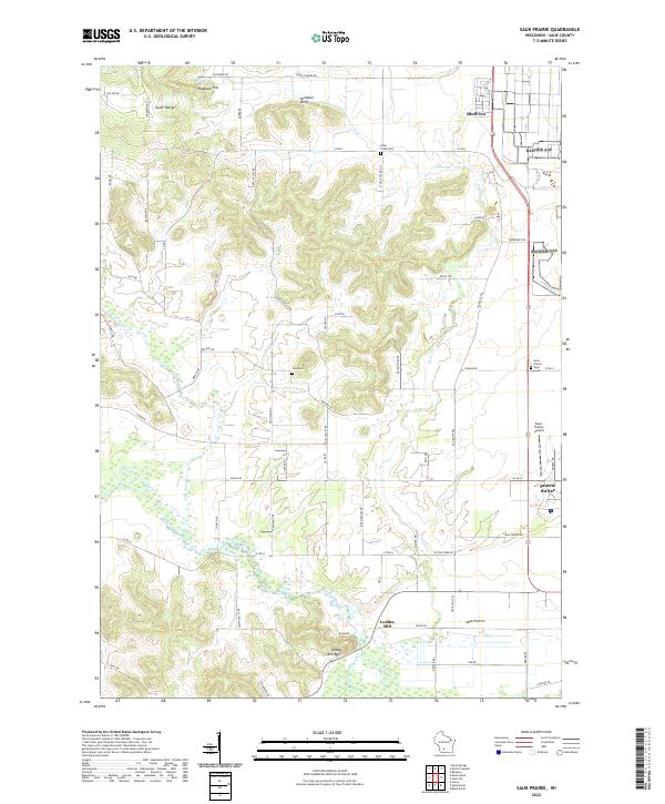
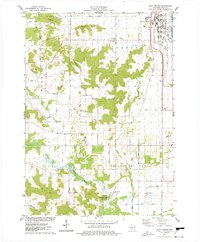
2022 Map of Sauk Prairie
USGS Topo · Published 2022About this map
The Sauk Prairie region of Wisconsin is defined by a striking contrast between the low-lying glacial outwash plains and the prominent topographic rises of the South Range. Near the southern boundary, the settlement of Loddes Mill sits beneath the shadow of Loddes Mill Bluff, where the waters of Otter Cr flow toward the wetlands of the Wisconsin River valley. To the north, the terrain transitions into the high ridges of Dinosaur Bluff and Hogback Hill, overlooking the community of Bluffview. This area preserves a dense network of early local history markers, including the Otter Creek Cem, Zion Cem, and Swiss Valley Cem, which reflect the nineteenth-century settlement patterns of the rural townships. The map details the modern transition of the landscape near the village of Prairie du Sac, illustrating the intersection of old agricultural corridors like Block Rd with contemporary infrastructure such as the Sauk-Prairie Airport.
Find a feature on this map
66 named features on this map. Tap any name to fly to it.
Don’t see what you’re looking for? This feature index may not catch every label — zoom into the map to look around manually.
Map Details
Editions of this 2022 Sauk Prairie Map
This is the sole edition of this map. No revisions or reprints were ever made.
Historical Maps of Prairie du Sac Through Time
17 maps found
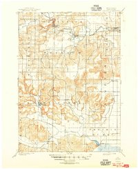
1901 Denzer
Sauk County, WI
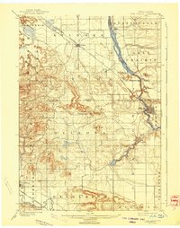
1901 The Dells
Sauk County, WI
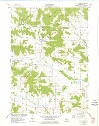
1974 Baraboo NW
Sauk County, WI
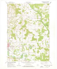
1975 Black Hawk
Sauk County, WI

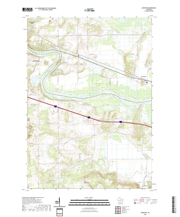
1975 Lewiston
Sauk County, WI
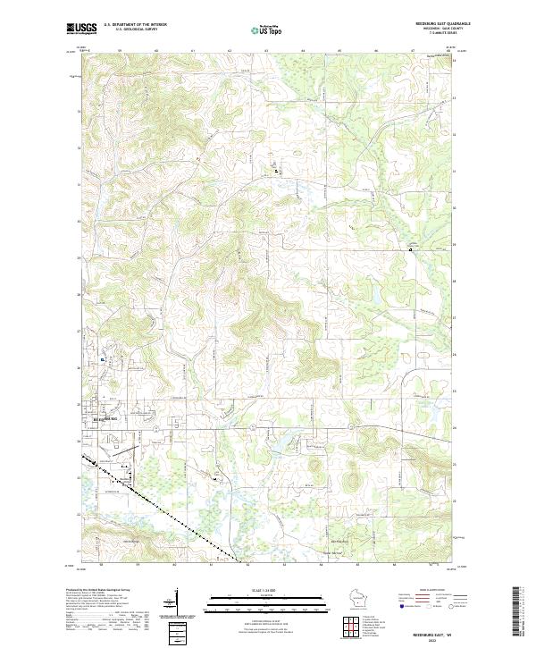
1975 Reedsburg East
Sauk County, WI
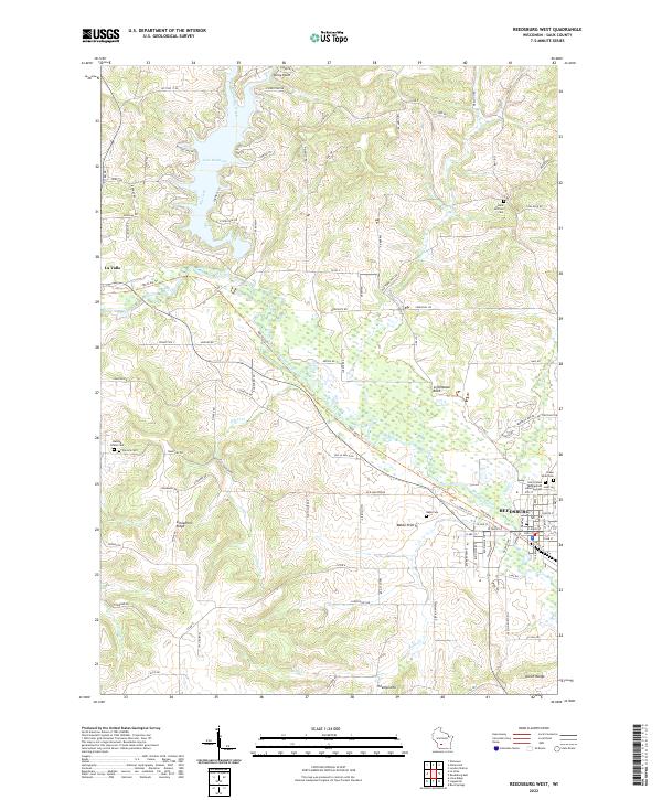
1975 Reedsburg West
Sauk County, WI
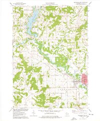
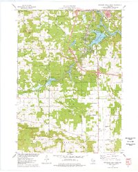
1975 Sauk Prairie
Sauk County, WI
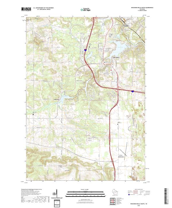
1975 Wisconsin Dells South
Sauk County, WI
1983 Bear Valley
Sauk County, WI
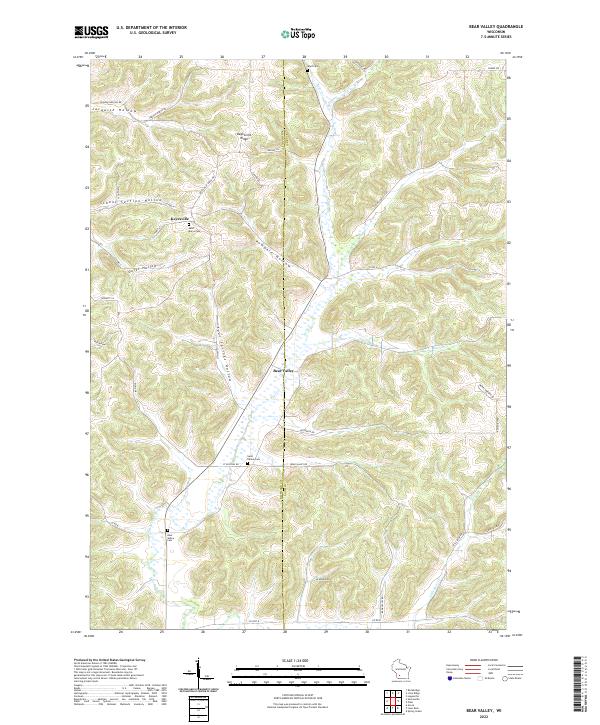
2022 Bear Valley
Sauk County, WI
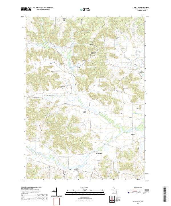
2022 Black Hawk
Sauk County, WI
2022 Lewiston
Sauk County, WI
2022 Reedsburg East
Sauk County, WI
2022 Reedsburg West
Sauk County, WI
2022 Sauk Prairie
Sauk County, WI
2022 Wisconsin Dells South
Sauk County, WI