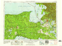
1958 Map of Sault Sainte Marie
USGS Topo · Published 1958About this map
Sault Sainte Marie and the eastern Upper Peninsula are detailed in this late 1950s survey, showing the region's intersection of military aviation, timber heritage, and maritime commerce. The landscape is dominated by the sprawling Mackinac State Forest and Lake Superior State Forest, where numerous fire lookout towers stood watch over the lumber lands. The Cold War presence is cemented by the Kinross Air Force Base, while the economic foundations of the era are visible in the heavy rail presence of the Soo Line and Duluth South Shore and Atlantic railroads.
Find a feature on this map
108 named features on this map. Tap any name to fly to it.
Don’t see what you’re looking for? This feature index may not catch every label — zoom into the map to look around manually.
Map Details
Editions of this 1958 Sault Sainte Marie Map
This is the sole edition of this map. No revisions or reprints were ever made.
Other maps of this area
1913 · Sault Sainte Marie
USGS Topo · 1:62,500
1919 · Neebish
USGS Topo · 1:62,500
1931 · St Ignace NW
USGS Topo · 1:31,680
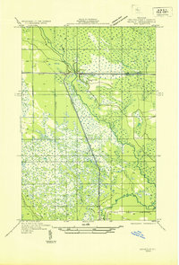
1931 · Seney SW
USGS Topo · 1:31,680
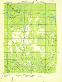
1931 · Seney NW
USGS Topo · 1:31,680
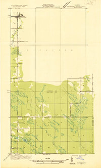
1931 · Pickford SE
USGS Topo · 1:31,680
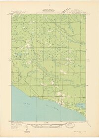
1931 · Epoufette SE
USGS Topo · 1:31,680
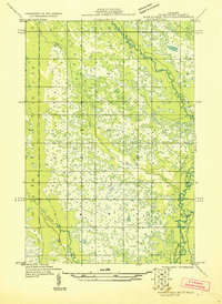
1931 · Manistique River NE
USGS Topo · 1:31,680
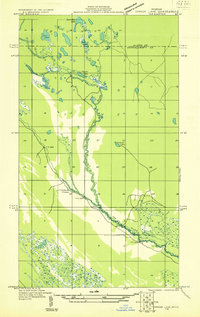
1931 · Driggs Lake NE
USGS Topo · 1:31,680
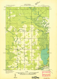
1931 · Gould City NE
USGS Topo · 1:31,680