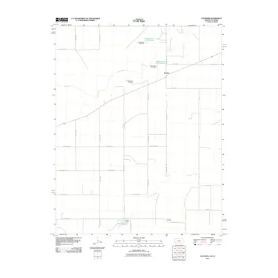
2010 Map of Saunders
USGS Topo · Published 2010About this map
Saunders stands at a rural junction in Stanton County, marking a landscape defined by agricultural road grids and sophisticated water management. This high-plains environment is characterized by the ephemeral paths of Bear Creek and Sand Arroyo Creek, which are supplemented by a series of man-made structures designed to capture and hold water in this arid region. The presence of the Hoopengarner SW-1 Reservoir and Hoopengarner SW-4 Reservoir, along with several dams including the Konantz Dam, illustrates the critical importance of water conservation for the local farming community. Genealogists and local historians will find the Konantz Cemetery in the southeastern portion of the quadrangle, a significant landmark for tracing early families in this corner of Kansas. The map also features Burchfield Lake, providing a detailed look at the hydrology and land use patterns of the early 21st century.
Find a feature on this map
28 named features on this map. Tap any name to fly to it.
Don’t see what you’re looking for? This feature index may not catch every label — zoom into the map to look around manually.
Map Details
Editions of this 2010 Saunders Map
This is the sole edition of this map. No revisions or reprints were ever made.
Other maps of this area

1891 · Albany
USGS Topo · 1:125,000

1892 · Vilas
USGS Topo · 1:125,000

1893 · Albany
USGS Topo · 1:125,000

1900 · Syracuse
USGS Topo · 1:125,000

1920 · Syracuse
USGS Topo · 1:125,000

1955 · La Junta
USGS Topo · 1:250,000

1955 · Dodge City
USGS Topo · 1:250,000

1958 · La Junta
USGS Topo · 1:250,000

1958 · Dodge City
USGS Topo · 1:250,000

1959 · Dodge City
USGS Topo · 1:250,000