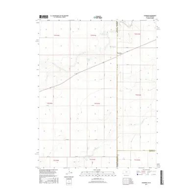
2015 Map of Saunders
USGS Topo · Published 2015About this map
The borderlands of the High Plains intersect at Saunders, a small community positioned at the junction of Stanton County, Kansas, and Baca County, Colorado. This 2015 survey reveals a landscape shaped by water management in a semi-arid region, evidenced by the cluster of catchment basins including Hoopengarner SW-1 Reservoir, Hoopengarner SW-3 Reservoir, and Hoopengarner SW-4 Reservoir along the drainage of Bear Cr. These features, along with Burchfield Lake to the south, highlight the critical role of surface water storage for local agriculture and ranching near the state line.
Find a feature on this map
21 named features on this map. Tap any name to fly to it.
Don’t see what you’re looking for? This feature index may not catch every label — zoom into the map to look around manually.
Map Details
Editions of this 2015 Saunders Map
This is the sole edition of this map. No revisions or reprints were ever made.
Other maps of this area

1891 · Albany
USGS Topo · 1:125,000

1892 · Vilas
USGS Topo · 1:125,000

1893 · Albany
USGS Topo · 1:125,000

1900 · Syracuse
USGS Topo · 1:125,000

1920 · Syracuse
USGS Topo · 1:125,000

1955 · La Junta
USGS Topo · 1:250,000

1955 · Dodge City
USGS Topo · 1:250,000

1958 · La Junta
USGS Topo · 1:250,000

1958 · Dodge City
USGS Topo · 1:250,000

1959 · Dodge City
USGS Topo · 1:250,000