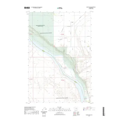
2020 Map of Savage Island
USGS Topo · Published 2020About this map
The Columbia River carves a massive southeast-to-northwest path through this landscape, marking the natural boundary between Franklin and Benton Counties. This reach of the river remains a critical ecological corridor, protected by the Saddle Mountain National Wildlife Refuge and the Hanford Reach National Monument. The terrain is defined by the contrast between the river's low-lying riparian zone and the rising benches of Ringold Flat.
Find a feature on this map
26 named features on this map. Tap any name to fly to it.
Don’t see what you’re looking for? This feature index may not catch every label — zoom into the map to look around manually.
Map Details
Editions of this 2020 Savage Island Map
This is the sole edition of this map. No revisions or reprints were ever made.
Other maps of this area

1917 · Pasco
USGS Topo · 1:125,000

1924 · Hanford
USGS Topo · 1:62,500

1925 · Scooteney Lake
USGS Topo · 1:62,500

1951 · Scooteney Lake
USGS Topo · 1:62,500

1951 · Richland
USGS Topo · 1:62,500

1951 · Hanford
USGS Topo · 1:62,500

1953 · Walla Walla
USGS Topo · 1:250,000

1958 · Walla Walla
USGS Topo · 1:250,000

1965 · Mesa
USGS Topo · 1:62,500

1965 · Eltopia
USGS Topo · 1:62,500