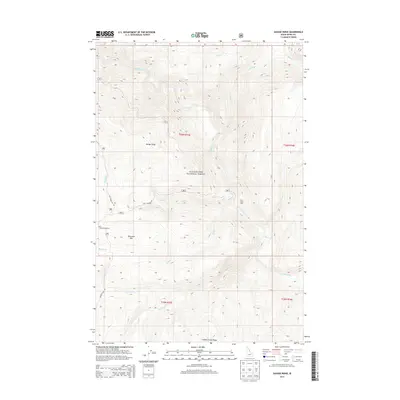
2013 Map of Savage Ridge
USGS Topo · Published 2013About this map
Clearwater National Forest defines this high-elevation landscape in Idaho County, where a complex network of drainages and ridges converges. The terrain is centered on Savage Ridge and Tamarack Mtn, bounded to the south by Hidden Creek Ridge. Water is the dominant geographic feature, with Colt-Killed-Creek and its many tributaries, such as Storm Cr and Maud Cr, carving through the forest. Human presence is concentrated along the primary forest routes.
Find a feature on this map
26 named features on this map. Tap any name to fly to it.
Don’t see what you’re looking for? This feature index may not catch every label — zoom into the map to look around manually.
Map Details
Editions of this 2013 Savage Ridge Map
This is the sole edition of this map. No revisions or reprints were ever made.
Other maps of this area

1901 · Hamilton
USGS Topo · 1:125,000

1911 · Lolo
USGS Topo · 1:250,000

1912 · Missoula
USGS Topo · 1:125,000

1913 · Lolo
USGS Topo · 1:250,000

1956 · Hamilton
USGS Topo · 1:250,000

1959 · Hamilton
USGS Topo · 1:250,000

1960 · Hamilton
USGS Topo · 1:250,000

1964 · Hamilton
USGS Topo · 1:250,000

1964 · Rocky Point
USGS Topo · 1:24,000

1964 · Roundtop
USGS Topo · 1:24,000