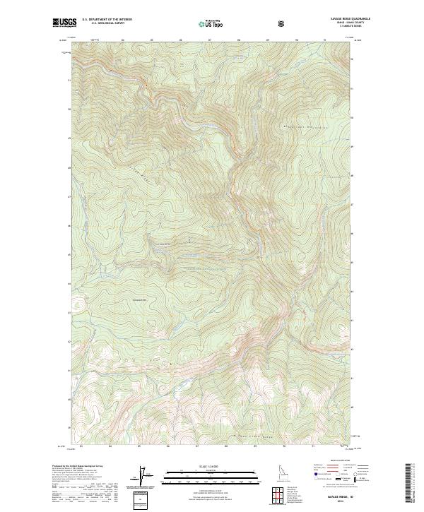
2024 Map of Savage Ridge
USGS Topo · Published 2024About this map
Bitterroot Mountains terrain dominates this Idaho county landscape, where the high elevations of Savage Ridge and Tamarack Mtn divide complex drainage systems. The northern portion is defined by the Colt-Killed Creek watershed, while the southern reaches are protected within the Selway-Bitterroot Wilderness. This area represents a deeply preserved part of the Clearwater National Forest, showing the intersection of forest management and wilderness preservation. Remote access is limited to a few forest thoroughfares such as Elk Summit Rd 360 and the Hoodoo Lake Rd. For researchers, the map provides precise locations for backcountry routes like the Colt-Killed Trl and various ridges, including Hidden Creek Ridge, which characterize the high-country geography of this Idaho wilderness.
Find a feature on this map
33 named features on this map. Tap any name to fly to it.
Don’t see what you’re looking for? This feature index may not catch every label — zoom into the map to look around manually.
Map Details
Editions of this 2024 Savage Ridge Map
This is the sole edition of this map. No revisions or reprints were ever made.
Other maps of this area

1901 · Hamilton
USGS Topo · 1:125,000

1911 · Lolo
USGS Topo · 1:250,000

1912 · Missoula
USGS Topo · 1:125,000

1913 · Lolo
USGS Topo · 1:250,000

1956 · Hamilton
USGS Topo · 1:250,000

1959 · Hamilton
USGS Topo · 1:250,000

1960 · Hamilton
USGS Topo · 1:250,000

1964 · Hamilton
USGS Topo · 1:250,000

1964 · Rocky Point
USGS Topo · 1:24,000

1964 · Roundtop
USGS Topo · 1:24,000