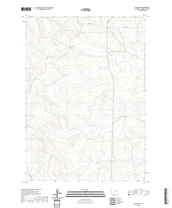
2021 Map of Savageton
USGS Topo · Published 2021About this map
Savageton Cem serves as a central landmark for this portion of Campbell County, situated near the intersection of several primary local routes including Savageton Rd and Black And Yellow Rd. The landscape is defined by a dendritic network of intermittent drainages, most notably Mud Spring Cr and Greasewood Cr, which converge across the high plains terrain. This 2021 update reveals the persistence of early ranching infrastructure, such as the Schlautan Reservoir, alongside modern road networks like Christensen Rd. The geography is divided by township lines including t45n r75w and t44n r74w, providing a clear framework for researchers tracing historical property boundaries or family land holdings in this prairie environment.
Find a feature on this map
13 named features on this map. Tap any name to fly to it.
Don’t see what you’re looking for? This feature index may not catch every label — zoom into the map to look around manually.
Map Details
Editions of this 2021 Savageton Map
This is the sole edition of this map. No revisions or reprints were ever made.
Other maps of this area

1953 · Savageton
USGS Topo · 1:24,000

1953 · Fats Draw
USGS Topo · 1:24,000

1953 · South Butte
USGS Topo · 1:24,000

1953 · Rolling Pin Ranch
USGS Topo · 1:24,000

1953 · North Butte
USGS Topo · 1:24,000

1955 · Newcastle
USGS Topo · 1:250,000

1958 · Newcastle
USGS Topo · 1:250,000

1959 · Savageton
USGS Topo · 1:62,500

1959 · North Star School
USGS Topo · 1:62,500

1960 · Turnercrest
USGS Topo · 1:62,500