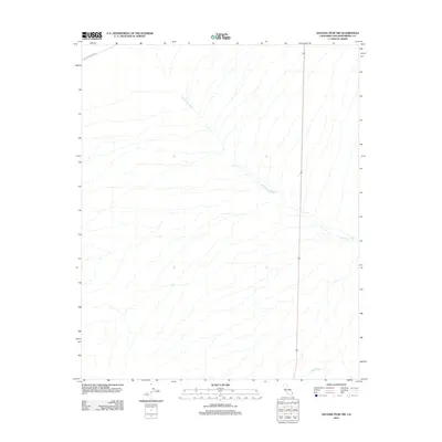
2012 Map of Savahia Peak NW
USGS Topo · Published 2012About this map
Chemehuevi Wash dominates this landscape in the eastern California desert, tracing a complex network of seasonal drainage patterns through San Bernardino County. In this arid region, the topography is defined by the subtle descent of numerous dry channels toward the larger Gary Wash in the south. Human presence is limited to the single passage of Turtle Mountain Rd clipping the northwest corner, a route reflecting the sparse infrastructure required for this remote stretch of the Mojave. This 2012 survey by the U.S. Geological Survey provides an intricate look at the natural drainage and landforms of the Savahia Peak area before more recent environmental or development changes.
Find a feature on this map
3 named features on this map. Tap any name to fly to it.
Don’t see what you’re looking for? This feature index may not catch every label — zoom into the map to look around manually.
Map Details
Editions of this 2012 Savahia Peak NW Map
This is the sole edition of this map. No revisions or reprints were ever made.
Other maps of this area

1903 · Needles
USGS Topo · 1:125,000

1904 · Needles Special
USGS Topo · 1:125,000

1943 · Center Hills
USGS Topo · 1:62,500

1943 · Turtle Mts.
USGS Topo · 1:62,500

1950 · Sawtooth Range
USGS Topo · 1:62,500

1950 · Savahia Peak
USGS Topo · 1:62,500

1951 · Savahia Peak
USGS Topo · 1:62,500

1951 · Sawtooth Range
USGS Topo · 1:62,500

1954 · Needles
USGS Topo · 1:250,000

1954 · Turtle Mountains
USGS Topo · 1:62,500