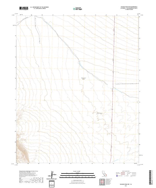
2021 Map of Savahia Peak NW
USGS Topo · Published 2021About this map
Chemehuevi Wash defines the drainage patterns of this arid landscape, winding across the Chemehuevi Valley in the northern reach of the Mojave Desert. This 2021 survey demonstrates the stark, open character of the region, where infrastructure is limited to the essential corridors of US Rte 95 and Turtle Mountain Rd. The map illustrates how seasonal watercourses like Gary Wash dictate the natural topography of the basin floor, providing a high-resolution look at the alluvial fan structures that dominate the desert floor east of the Turtle Mountains. For those studying California's eastern desert lands, this map offers a contemporary view of a geographic crossroads where modern transportation routes follow the natural contours of the ancient valley.
Find a feature on this map
12 named features on this map. Tap any name to fly to it.
Don’t see what you’re looking for? This feature index may not catch every label — zoom into the map to look around manually.
Map Details
Editions of this 2021 Savahia Peak NW Map
This is the sole edition of this map. No revisions or reprints were ever made.
Other maps of this area

1903 · Needles
USGS Topo · 1:125,000

1904 · Needles Special
USGS Topo · 1:125,000

1943 · Center Hills
USGS Topo · 1:62,500

1943 · Turtle Mts.
USGS Topo · 1:62,500

1950 · Sawtooth Range
USGS Topo · 1:62,500

1950 · Savahia Peak
USGS Topo · 1:62,500

1951 · Savahia Peak
USGS Topo · 1:62,500

1951 · Sawtooth Range
USGS Topo · 1:62,500

1954 · Needles
USGS Topo · 1:250,000

1954 · Turtle Mountains
USGS Topo · 1:62,500