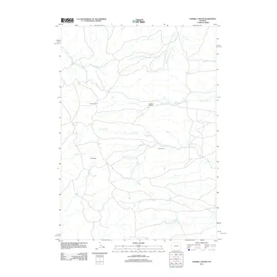
2012 Map of Sawmill Canyon
USGS Topo · Published 2012About this map
Sherwood Oil Field and the Gafford Ranch anchor this 2012 survey of the high Wyoming plains, where industrial resource extraction meets traditional ranching. The landscape is defined by the drainage basins of the Powder River and Wind Creek, with the Sawmill Canyon cutting through the center of the quadrangle. Water distribution is the primary feature of this arid terrain, marked by several distinct branches including the N Prong Dry Fork Powder River and the S Fork Wind Cr. While the Pine Ridge formation provides a topographic landmark in the southwest, the network of local roads and paths indicates a space managed for both energy production and livestock. This map records the modern configuration of these remote interior drainages, from Fink Prong in the northeast to the headwaters of N Cottonwood Cr.
Find a feature on this map
11 named features on this map. Tap any name to fly to it.
Don’t see what you’re looking for? This feature index may not catch every label — zoom into the map to look around manually.
Map Details
Editions of this 2012 Sawmill Canyon Map
This is the sole edition of this map. No revisions or reprints were ever made.
Other maps of this area

1954 · Artesian Draw
USGS Topo · 1:24,000

1954 · Linch
USGS Topo · 1:24,000

1954 · Taylor Ranch
USGS Topo · 1:24,000

1955 · Newcastle
USGS Topo · 1:250,000

1955 · Arminto
USGS Topo · 1:250,000

1958 · Arminto
USGS Topo · 1:250,000

1958 · Newcastle
USGS Topo · 1:250,000

1959 · Edgerton
USGS Topo · 1:62,500

1960 · Ross
USGS Topo · 1:62,500

1962 · Arminto
USGS Topo · 1:250,000