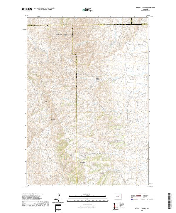
2021 Map of Sawmill Canyon
USGS Topo · Published 2021About this map
Sawmill Canyon and Pine Ridge anchor this high plains landscape at the convergence of four Wyoming counties. The geography is defined by a dense network of intermittent watercourses and topographic draws, many bearing the names of early settlers or local landmarks, such as Nick Ray Draw, Schooner Canyon, and Burris Draw. The land is dominated by drainage systems flowing toward the Powder River basin, including the N Prong Dry Fork Powder River and S Fork Wind Cr. This survey illustrates the intricate township and range divisions where Johnson, Natrona, Campbell, and Converse counties meet, showing how historical property boundaries were laid over the varied terrain of King Draw and Dead Dog Draw.
Find a feature on this map
28 named features on this map. Tap any name to fly to it.
Don’t see what you’re looking for? This feature index may not catch every label — zoom into the map to look around manually.
Map Details
Editions of this 2021 Sawmill Canyon Map
This is the sole edition of this map. No revisions or reprints were ever made.
Other maps of this area

1954 · Artesian Draw
USGS Topo · 1:24,000

1954 · Linch
USGS Topo · 1:24,000

1954 · Taylor Ranch
USGS Topo · 1:24,000

1955 · Newcastle
USGS Topo · 1:250,000

1955 · Arminto
USGS Topo · 1:250,000

1958 · Arminto
USGS Topo · 1:250,000

1958 · Newcastle
USGS Topo · 1:250,000

1959 · Edgerton
USGS Topo · 1:62,500

1960 · Ross
USGS Topo · 1:62,500

1962 · Arminto
USGS Topo · 1:250,000